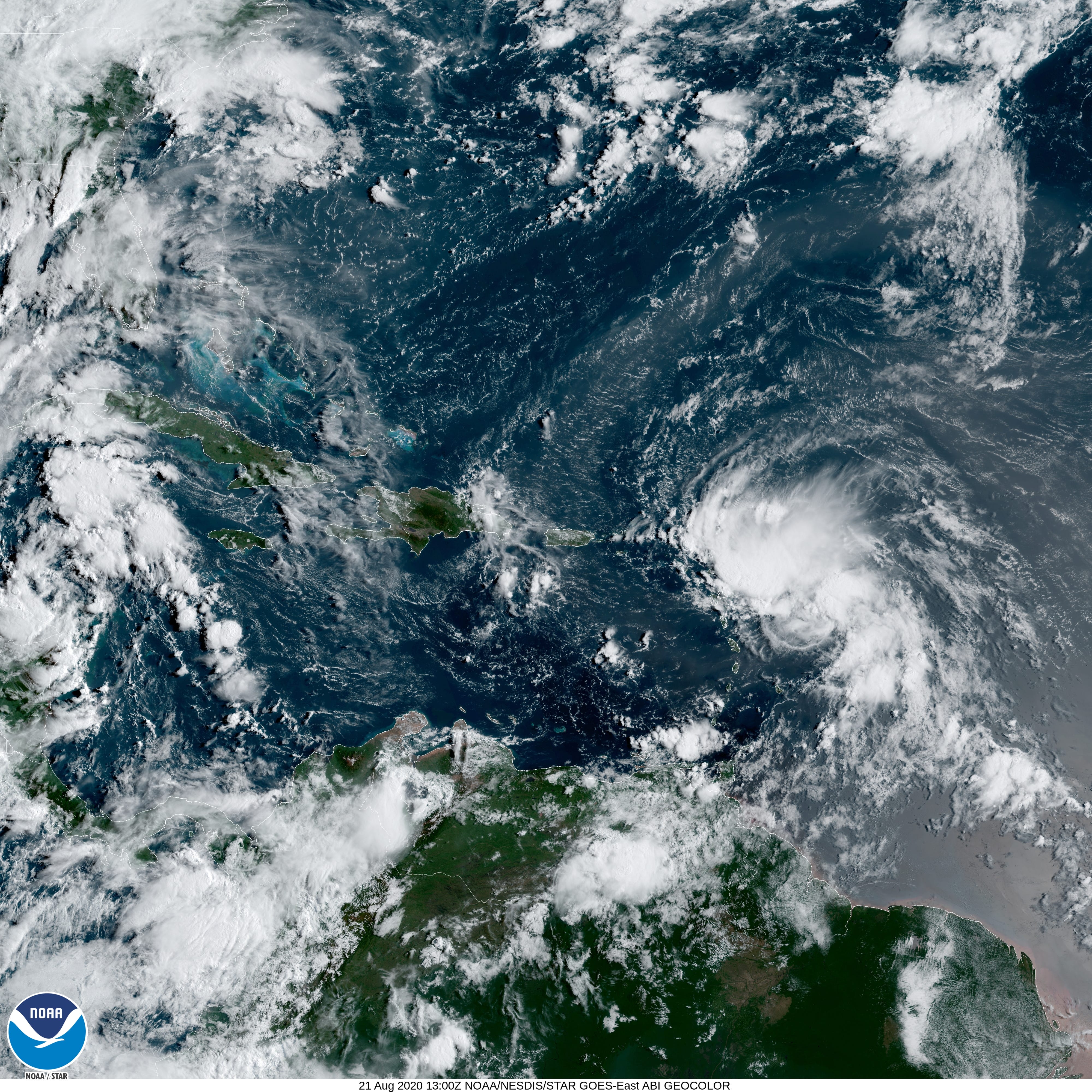
Tropical Storm Laura forms in Atlantic, Florida Panhandle in messy path

Amber Roberson Pensacola News Journal
Published 9:54 AM EDT Aug 21, 2020
Tropical Depression 13 has officially strengthened into Tropical Storm Laura Friday morning, making it the earliest "L" storm to be named, and it has the Panhandle in its messy path.
The current track, which shifted slightly south and west overnight, has Laura making landfall Wednesday in an area from the Panhandle to eastern Louisiana as a Category 1 hurricane.
According to the National Hurricane Center, the storm is located about 230 miles east-southeast of the northern Leeward Islands. It's travelling west at 21 mph, with maximum sustained winds of around 45 mph.
Both TS Laura and Tropical Depression 14 are forecast to reach hurricane strength, with both sharing the Gulf of Mexico at the same time.
If that forecast holds true, it would be the first time in recorded history that two hurricanes muscled through the Gulf’s warm waters simultaneously, according to Colorado State University researcher Phil Klotzbach.
It could also be another record-breaker for 2020 with the potential for 7 tropical cyclone landfalls in the continental U.S. before the end of August.
Forecasters remain somewhat uncertainty over Laura's track and intensity because it could interact with mountains in the Greater Antilles. However, the storm could remain over open water and continue to develop as it passes north of Puerto Rico, Hispaniola and Cuba toward Florida.
Pensacola Weather: Weekend showers expected in Pensacola ahead of two tropical depressions approaching Gulf
Atlantic Hurricane Season: Two hurricanes expected in Gulf of Mexico; Florida still in path of one
An 'extremely active' hurricane season: Up to 25 named storms are possible, NOAA says
tinyurlis.gdu.nuclck.ruulvis.netshrtco.de
